Geography of Croatia: Important Geographical Information about Croatia
In this Country Profile
Croatia is located in Southeastern Europe (aka the western Balkans) between Bosnia and Herzegovina and Slovenia.
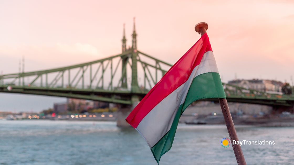
Croatia borders the Adriatic Sea along its 5,835 km coastline. Its size is comparable to that of West Virginia or Nova Scotia. Croatia has a 932 km border with Bosnia and Herzegovina, a 670 km border with Slovenia, a 329 km border with Hungary, a 241 km border with Serbia (its Autonomous Province of Vojvodina entirely) and a 25 km border with Montenegro. Islands and coastal areas in Croatia have a Mediterranean climate while inland areas have temperate continental climate with hot summers with low overall humidity levels but frequent rain showers and cold snowy winters. The local terrain is quite diverse given the size of the country. There are flat plains along the Hungarian border, low mountains and highlands near the Adriatic coastline and islands. Croatia’s strategic location gives it control over most land routes from Western Europe to the Aegean Sea and the Turkish Straits. The country’s natural resources include petroleum, some coal, bauxite, low-grade iron ore, calcium, natural asphalt, silica, mica, clays, salt and hydropower.

Sorry, the comment form is closed at this time.