Geography of El Salvador: Important Geographical Information about El Salvador
In this Country Profile
The Republic of El Salvador, the smallest country among the nations in Central America is just 21,041 square kilometers large or about 8,142 square miles. It is about 110 kilometers long and 260 kilometers wide. It is flanked by Honduras, Guatemala and partly by the Pacific Ocean. The country is also close to Nicaragua, with the Gulf of Fonseca separating them.
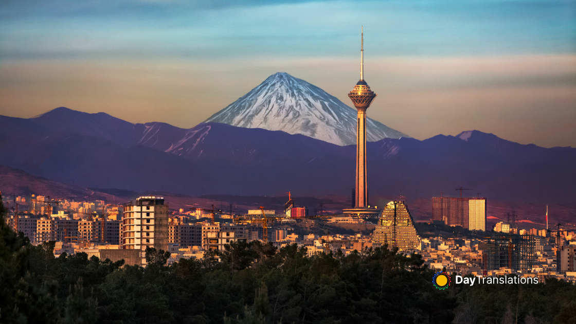
The country has around 25 volcanoes, both active and extinct. The highest volcano is Santa Ana, which measures 2,386 meters or roughly 7,828 feet. Mount Izalco, another active volcano was known as the Lighthouse of the Pacific due to its numerous summit fires until 1956. Its last eruption was in 1966. Mount Chaparrastique, located in San Miguel is one of the most active volcanoes in El Salvador. The country is prone to earthquakes and volcanic eruptions. Two rows of volcanoes run parallel from east to west, dividing the country into three topographical divisions.
Rio Lempa is the longest and the only navigable river in El Salvador and much of the country’s electric power is generated by the hydroelectric dams built on the river. Almost all of the 300 rivers in the country drain into the Rio Lempa, which in turn drains into the Pacific Ocean. Four notable lakes are found in the country, namely Lake Ilopango, Lake Guija, Lake Coatepeque and the Jocotal Lagoon. Lake Ilopango, the largest natural lake in the country is located in the crater of a volcano that has been eroded through the years. These lakes are of volcanic origin. One of the most notable features of Lake Ilopango is its emerald blue water. It also has several islets, forming a group called Islas Quemadas. These are lava domes that formed after several volcanic eruptions until 1880. Lake Coatepeque is the deepest lake in El Salvador. Up to now its deepest point is not yet known. The Jocotal Lagoon on the other hand is a permanent fresh water lake.
The Sierra Madre mountain range in the north of the country is one continuous chain. It was once heavily forested but is now semi-barren and the region has become sparsely populated. The elevation in the area ranges from 1,600 to over 2,000 meters. The southern mountain range is a discontinuous chain consisting of more than 20 volcanoes, while the western group of mountains, near the border with Guatemala included Santa Ana and Izalco. Most of the coffee plantations in El Salvador are found here, due to the richness of the volcanic soil.
Only 25% of the total land area of El Salvador is covered by the central plateau but this is where the largest cities of the country are located and where the most number of people live. Lava fields, geysers and rolling terrain are part of the landscape in the central plateau.
The Pacific lowlands can be found in the coastal region near the Pacific Ocean. This narrow section of land is where the low, flat areas of El Salvador are located and where parts of the volcanoes are already in the sea.
While it may be humid and quite hot neat the coast, the rest of the country experiences sub-tropical to temperate climate, particularly noticeable as the elevation increases. In the central plateau, the nights are comfortably cool while it is warm during daytime. Five months of the year, from May to October is the wet season in the country, with an average rainfall of 75 inches annually. The Pacific lowlands receive the heaviest rainfall. Temperatures in El Salvador do not vary that much, and is determine by the elevation of the region. The areas near the Pacific Coast experience the most heat, where the annual temperature average ranges form 25 °C to 29 °C (77 °F to 84 °F). In the central plateau where the nation’s capital is located, the average is around 23 °C or 73 °F, while extreme temperature can reach as high as 38 °C or 100 °F and dip down to about 7 °C or nearly 45 °F. On the highest elevations, the annual average temperature range is from 12 °C up to 23 °C or roughly from 54 °F to 73 °F. Freezing temperatures can also be experienced at times.
Agriculture is the main economic backbone of the country and gives employment to 34% of the country’s workforce. Coffee, cotton and sugar cane are the three major domestic and export crops. The various manufacturing industries also contribute to the nation’s economy. Some of the major manufacturing industries, mostly located in the nation’s capital of San Salvador include refined petroleum, leather goods, paper products, processed foods, chemicals, cigarettes and beverages. Aside from the three major crops, textiles are also exported. Shrimp caught on the Pacific Coast is also a major export product of El Salvador.
:: References ::
http://geography.howstuffworks.com/central-america/geography-of-el-salvador.htm
http://motherearthtravel.com/el_salvador/geography.htm
http://www.mapsofworld.com/el-salvador/geography/

Sorry, the comment form is closed at this time.